Carlson RT5 | RTk5
The Carlson RT5 and RTk5 are fast, ruggedized Windows® data collectors designed for surveying, stake-out, construction layout and GIS mapping, and are bundled with Carlson SurvPC7 – the Windows-based data collection program. The RT5 and RTk5 can also run SurvPC7 with Esri for live access to view and update an ArcGIS Online database in the field. With 8GB of RAM, 256 GB of storage, you can collect and analyze your data quicker than ever before.
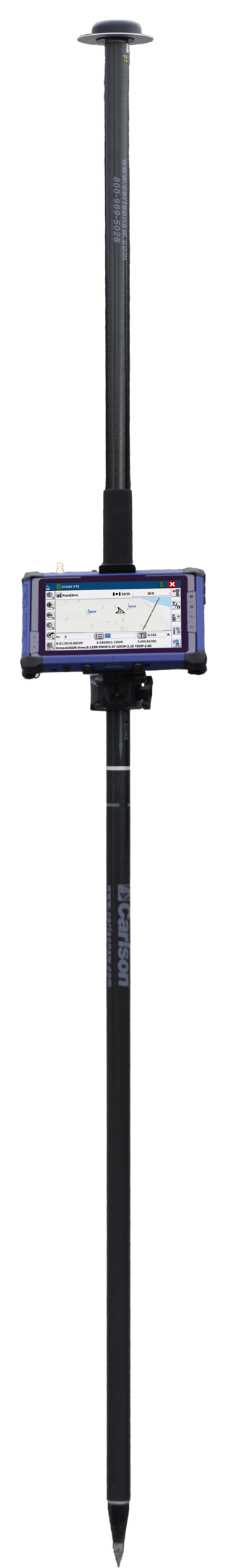
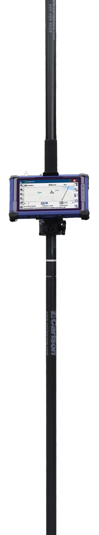
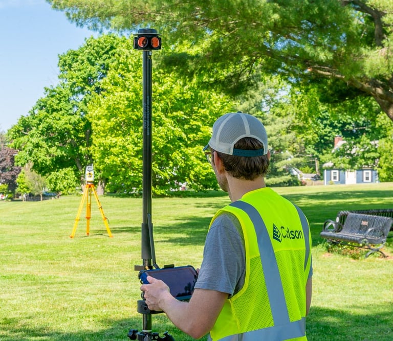
The Carlson RTk5 also includes an advanced GNSS solution, allowing new levels of freedom and accuracy in a compact, light, versatile package. The Carlson RTk5 comes with a custom-built pole and cradle, a survey-grade antenna, a small portable helix antenna for handheld GNSS use, and provides a light, versatile, all-in-one solution for land surveyors, engineers, GIS professionals, and anyone else in need of advanced GNSS positioning with an RTK rover.
Key Features – RT5 & RTk5
PERFORMANCE
• Powerful Windows 10 for office-to-field use
• Plenty of memory – 8 GB RAM & 256 GB flash storage
EXPANDABLE BATTERY
• All-day battery runs 10+ hours for minimal downtime
• Optional 15+ hour battery
• 5-minute hot swap
CONNECTIVITY
• Long Range Bluetooth®
• Dual-band Wi-Fi®
• USB 3.0 connectivity
• 4G LTE (GSM)
FIELD-TESTED RUGGED
• Operates in extreme temperatures from 14F to 122F (-10° C to 50° C)
• Dustproof & water resistant (IP65 rating)
• Designed to MIL-STD-810G for ultra-ruggedness
• 3-year warranty
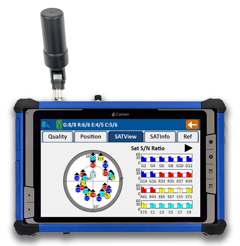
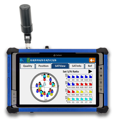
HIGH-VISIBILITY DISPLAY
• Large, 8-inch display for easy viewing
• 800 nits (cd2/M) brightness provides extraordinary visibility
• Capacitive touch screen with digital pen support
• Advanced multi-frequency, multi-constellation (GPS + GLONASS + Galileo + BeiDou + QZSS) RTK GNSS performance with Carlson’s proprietary next-generation RTK engine, Gama
• Balanced & ergonomic; 25+% lighter than typical GNSS setups – 6 lbs (2.7 kg) with tablet, cradle, pole, and antenna
• Gather live, centimeter-level positions directly into an Esri database with zero post processing
• Operate handheld without a pole for fast GIS work.
GNSS Capabilities
The RTk5 can be equipped with a specialized prism and used with the SurvPC Hybrid+ Module and any Carlson-supported robotic total station to take advantage of simultaneous GNSS and laser surveying.
Carlson Hybrid+ features include:
Follow Me: An alternative to optical tracking, follow Me continuously turns the total station towards the prism using the GNSS location.
Smart Lock: Automatically detects when you are slowing to take a measurement and locks on the prism
Smart Staking: Use the GNSS receiver as you make your way to your stakeout point; when you get close, the total station will automatically turn and lock on the prism for final staking precision
Cross Check: SurvPC will automatically cross-check your total station and GNSS positions and warn you when they differ
Hybrid-Resection: Setup anywhere using GNSS positions to calculate the total station occupied point and orientation; measurements from the GPS and RTS are time-synchronized for an accurate and simple one-tap resection measurement