Carlson Point Cloud
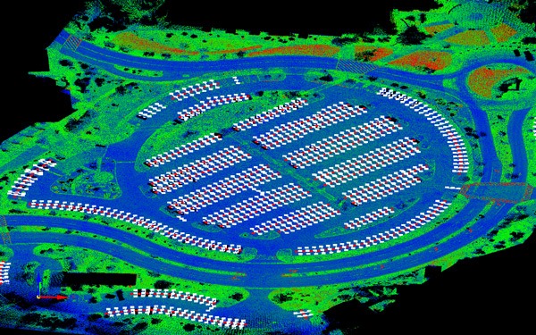
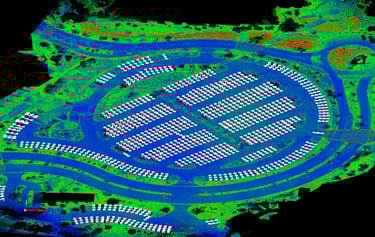
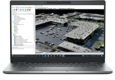
Carlson Point Cloud provides the ability to take an aerial or terrestrial field scan to a finished plat using powerful processing for large data sets. Powerful feature extraction capabilities in Point Cloud Advanced include the automatic creation of linework for curbs, building outlines, parking lines, paint stripes and more, all with Carlson’s legendary ease-of-use.
Point Cloud is available in Basic or Advanced versions to fit your needs.
View the system/hardware requirements for Carlson Point Cloud and our other CAD-based software here.

Key Features
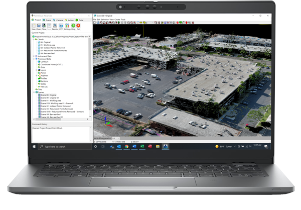
Register scans to local coordinates, filter or decimate the points, and overlay raster images in 3D
Snap to edges and code descriptions for automated field-to-finish processing of linework and symbols
Create contours, profiles, sections, and break-lines from within the point cloud
Lastly, all surface models, points, contours, break-lines, grid and profiles can be exported to CAD.
Basic & Advanced
Available in both Basic and Advanced versions, Carlson Point Cloud Advanced adds many valuable functions, including feature extraction capabilities as well as additional filters, transformations, and the creation of feature type points and solids.
Point Cloud Advanced’s feature extraction capabilities include:
-Parking lines
-Curbs
-Building outlines
-Paint Strips
-Sidewalks
-Powerlines
-Color edges
Watch a demonstration video of feature extraction workflows here!